Energy and Utility

Our Geospatial analytics is transforming the energy and utility sector, driving optimum generation, distribution, and consumption. Here’s how:
Renewable Energy:
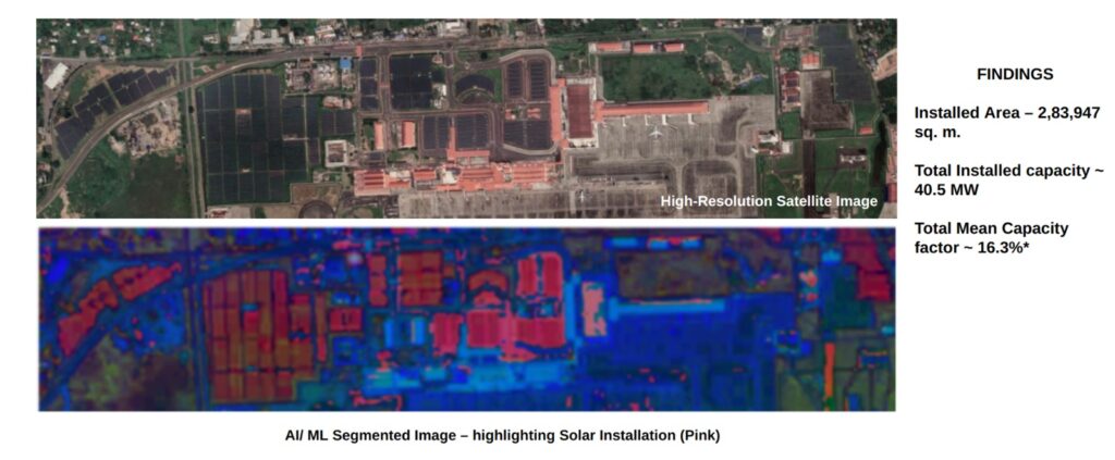
Identify ideal locations: Analyze solar radiation, wind speed, and terrain for efficient placement of wind and solar farms, maximizing energy production and minimizing environmental impact.
Grid Management: Predict and prevent outages, Integrate sensors, weather forecasts, and historical data to optimize maintenance schedules and ensure efficient grid management.
Asset Management: Utilize satellite imagery to identify potential issues before they escalate, minimizing downtime, reducing costs, and enhancing operational efficiency.
Energy Efficiency:
Target conservation efforts: Analyze consumption patterns to identify high-usage areas and implement targeted programs for optimized energy use.
Distributed Energy Resources:
Integrate seamlessly: Analyze spatial data to identify optimal locations and assess their impact on the grid, enabling smooth integration of renewables. Beyond these core applications, geospatial analytics also supports:
Environmental assessments: Mitigate potential harm to wildlife and ecosystems, promoting sustainable energy practices.
Vegetation management: Detect and assess vegetation encroachment on power lines, reducing outage risks.
Data-driven decision-making fueled by geospatial insights empowers the energy and utility sector to:
- Optimize operations and infrastructure.
- Improve sustainability and reliability.
- Meet evolving demand and decarbonization goals.
